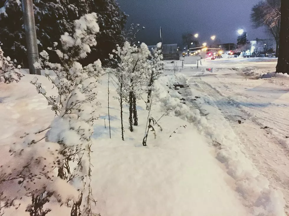
SE Minnesota, Rochester Could Receive 10 Inches of Snow
(La Crosse, WI (KROC AM News) - The National Weather Service has upped the amount of snow an approaching winter storm may dump across the region this week.
The La Crosse NWS office issued a revised statement at 3:30 AM Monday indicating the storm has the potential to produce “a band of 5 to locally 10 inches will be possible for portions of northeast Iowa, southeast Minnesota, and west central into north central Wisconsin.”
The Rochester area is included in the band of potential heavy snow that is expected to begin Tuesday night and continue into Wednesday.
It will also be windy, which will create hazardous driving conditions.
The NWS says “The possibility still exists that the storm track could change some. Should the storm shift further north, snow amounts will be less over these areas. Slight variations in temperature could also change amounts.”

More From KOLM - 1520 The Ticket